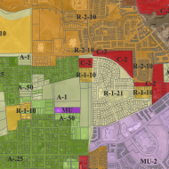
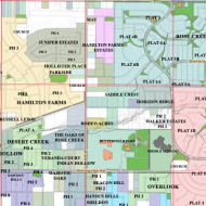
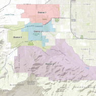
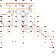
- Calendar
- Committees
- Parks and Recreation
-
Community Info
- Be Ready Herriman
- City Maps (GIS)
- Community Gardens
- Construction Projects
- Upcoming Projects
- Emergency Management
- Fiber Internet
- Fireworks
- Herriman for the Holidays
- Herriman Yeti
- Newsletters
- New Residents
- Olympia
- Report An Issue
- Room Rentals
- Schools
- Solicitors
- South Herriman Development
- Southwest Athletic Complex Proposal
- Thomas Butterfield Scholarship
- Utility Billing
- Volunteer
- We Are Herriman
- Wreaths Across America
GIS
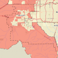
Keeping track of your city's assets
Geographic Information Systems (GIS)
GIS is a valuable tool that maps and tracks City assets and infrastructure. This includes water lines, streets, sidewalks, trees, the stormwater system, and much more. Herriman City uses this information to keep accurate data on City assets and geography to facilitate informed decision-making.
Do You Want a Map of Herriman?
Herriman City has three different sizes of maps that can be purchased at the City Hall. You can choose from the following maps:
- Zoning
- Subdivisions
- General Plan
- Trails, Open Space, and Parks
11 x 17"
$2
each
24 x 36"
$15
each
44 x 36"
$20
each
Herriman City Maps
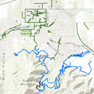
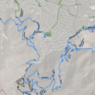
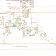
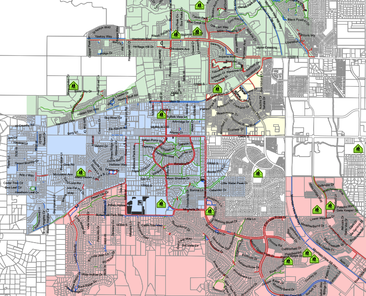
Sidewalk and Trails Snow Removal
All sidewalks and trails Herriman City removes snow from and their priority level.
Steven Brown • GIS Manager
Phone: 801-446-5323 | Email


